FiberSense is a unified platform for end-to-end fiber network planning and management, combining GNSS data capture, mobile surveys, and a GIS web platform for real-time, geo-tagged insights. By streamlining workflows, it speeds up approvals, reduces rework, improves BOQ accuracy, and enhances coordination—enabling efficient, accurate, and scalable fiber deployments.
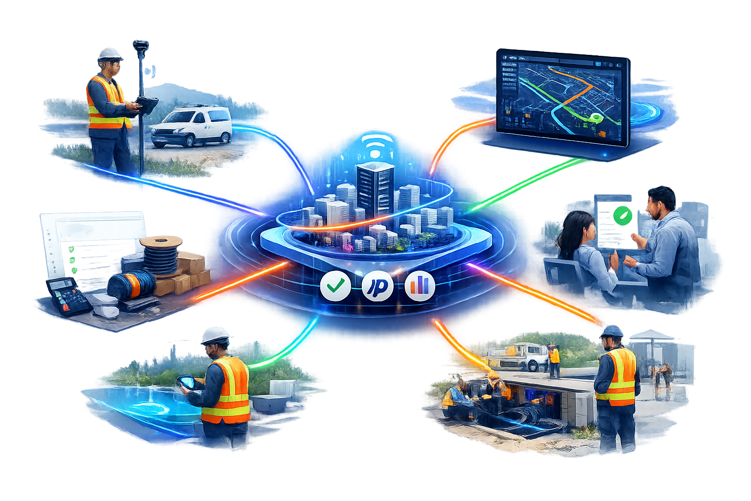
End-to-end fiber optic network management platform that streamlines planning, survey, execution, and operations & maintenance.
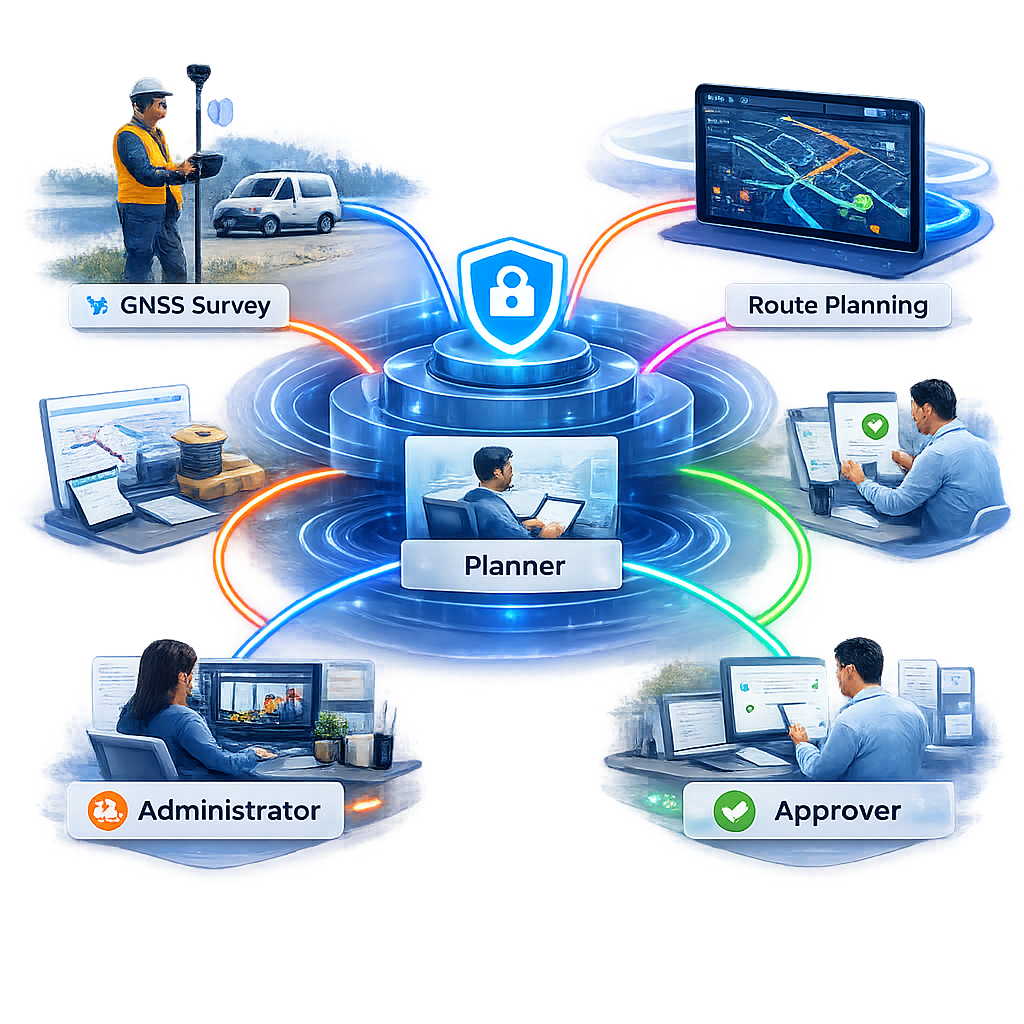
FiberSense combines a powerful web platform and a field-ready mobile app to deliver one connected digital record for fibre optic network rollout — from route planning to long-term asset management.
Manual drawings & spreadsheets
Automated map-based planning with linear & ring topologies
Paper-based or disconnected tools
GNSS-enabled mobile app with geo-linked evidence & offline support
Delayed updates & poor visibility
Real-time planned vs actual tracking on web + mobile
Fragmented records & disputes
Digital HOTO, as-built documentation & geo-linked validation
Limited post-rollout visibility
End-to-end asset management & fault tracing
Manual drawings & spreadsheets
Automated map-based planning with linear & ring topologies
Paper-based or disconnected tools
GNSS-enabled mobile app with geo-linked evidence & offline support
Delayed updates & poor visibility
Real-time planned vs actual tracking on web + mobile
Fragmented records & disputes
Digital HOTO, as-built documentation & geo-linked validation
Limited post-rollout visibility
End-to-end asset management & fault tracing
FiberSense brings together web-based planning and a powerful mobile field app to deliver end-to-end visibility and control across the entire OFC deployment process.
Plan optimal routes with automatic linear & ring topology design
Conduct accurate GNSS-enabled field surveys with offline support
Capture geo-linked evidence and track real-time progress
One shared system for planners, field engineers, managers, and stakeholders
Route design, topology, assignments & approvals
GNSS survey, geo-tagged evidence & offline workflows
Live progress tracking and deviation analysis
Digital handover and as-built documentation
Asset management, fault tracing & traceability
It's free — what do you have to lose?